Home Coverage What We Do FAQ Contact
EN ES
Our Services

Technical measurement and floor plan documentation

A structured, methodical service that transforms a physical property into a precise technical document — regardless of whether the property has existing plans or not.

The Full Process

From first contact to final delivery

Every property survey follows a consistent process designed to produce accurate, usable documentation.

Close-up of a professional laser distance measurement device being used on a property interior
// Step 01

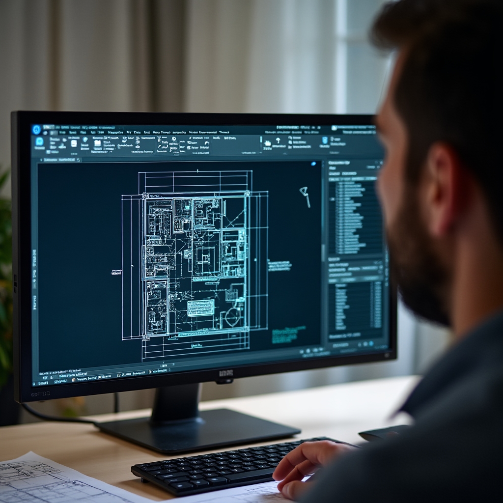
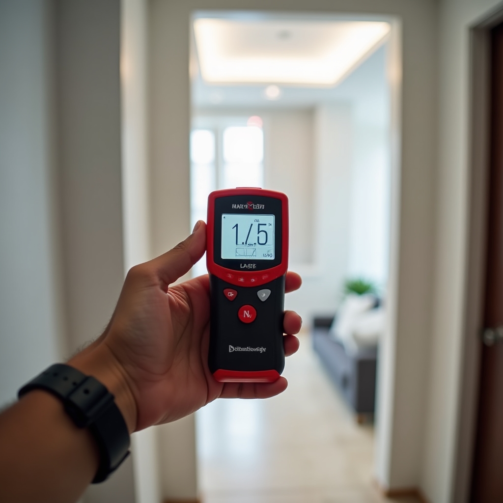
On-Site Laser Measurement

Our technician visits the property and measures every space using professional laser distance measurement equipment. This technology allows us to capture precise dimensions quickly and accurately — walls, rooms, corridors, openings, and structural elements are all recorded.

Unlike traditional tape measure methods, laser measurement eliminates human error and provides millimeter-level accuracy across all dimensions. Every measurement is documented on-site and cross-verified before we leave.

  • All interior spaces measured room by room
  • Exterior dimensions and structural elements recorded
  • Semi-covered spaces (terraces, galleries) documented separately
  • On-site verification before departure
Computer screen showing a detailed CAD floor plan with room dimensions and measurements
// Step 02

Floor Plan Drafting with Real Dimensions

Using the measurements collected on-site, we draft precise floor plans that show the property as it actually exists. Each plan is drawn to scale and includes all spaces with their real dimensions clearly marked.

The floor plans we produce are technical documents — not artistic impressions. They show walls, doors, windows, stairs, structural columns, and all other relevant elements with accurate measurements that can be relied upon for legal, commercial, and technical purposes.

  • Drawn to scale with standardized notation
  • All rooms labeled with dimensions
  • Doors, windows, and openings accurately positioned
  • Multi-story properties shown floor by floor
// Step 03

Surface Area Calculation

Once the floor plans are complete, we calculate the total surface areas — a critical component for property valuations, title registrations, and legal documentation in Paraguay.

Covered Surface Area

The total area of all fully enclosed spaces — bedrooms, living rooms, kitchens, bathrooms, corridors, and any other rooms with four walls and a roof. This is the primary measurement used in property valuations.

Semi-Covered Surface Area

Areas that have a roof but are open on one or more sides — covered terraces, galleries, porches, carports, and similar spaces. These are calculated separately and noted distinctly in the documentation.

Total Surface Summary

A clear summary table showing covered area, semi-covered area, and total constructed area. This summary is formatted for direct use in legal and commercial documentation.

// Step 04

Delivery: Digital and Printed

The final documentation is delivered in formats that work for every use case — from immediate digital sharing with notaries and brokers to physical copies for filing and archiving.

PDF Floor Plans High-resolution PDF files of all floor plans, ready to share digitally with any party
DWG / CAD Files Editable CAD format files for architects, engineers, or technical professionals who need to work with the drawings
Printed Copy Physical printed plans on appropriate paper format for filing, archiving, and presentation at notary offices
Surface Area Summary Document A clear, formatted document detailing covered and semi-covered surface areas for use in legal and commercial processes
Request a Survey

Ready to get your property documented?

Contact us with your property details and we'll explain what the process involves for your specific situation.